
 Image 1 of 1
Tier 3
Limited Availability - Because each assessment requires consultation, analysis, field work, and strategy development, only a limited number of Tier 3 projects are accepted each season.
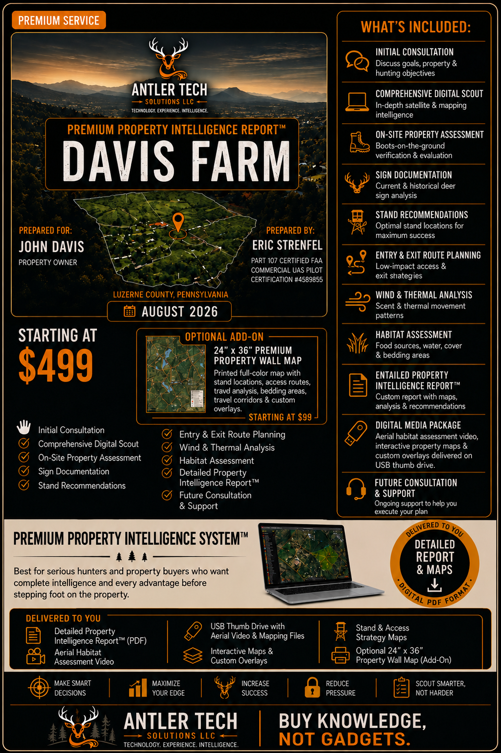
Our most comprehensive service. We don’t just analyze your property, we go there. We walk it. We observe it. We document it. We build a complete, custom hunting strategy designed to help you maximize your property’s potential. From deep-dive analysis to a one-on-one strategy session, you will receive a plan, insights, and support that deliver real results.
Consultation is required before service begins.
Included: initial consultation, comprehensive digital scout, on-site property assessment, Satellite & LiDAR Analysis, Terrain & Topography Mapping, Wind & Thermal Pattern Analysis, Habitat & Bedding Evaluation, Food Sources & Neighbor Analysis, Stand Location Recommendations, Entry & Exit Route Planning, Hunting Strategy & Game Plan, Backup Plans & Contingencies, Detailed Intelligence Report (PDF), 1-on-1 Strategy Session (60 minutes), Ongoing Support & Q&A (Email), Thumb Drive with Aerial property images and video with mapping overlays.
Our on-site property assessments are based in Northeast Pennsylvania and include properties within approximately 150 miles. If you are outside the 150 mile, we may still be able to help. Properties beyond our standard service area are evaluated individually, with travel costs determined by location and scope.
Tier 3
Limited Availability - Because each assessment requires consultation, analysis, field work, and strategy development, only a limited number of Tier 3 projects are accepted each season.
Our most comprehensive service. We don’t just analyze your property, we go there. We walk it. We observe it. We document it. We build a complete, custom hunting strategy designed to help you maximize your property’s potential. From deep-dive analysis to a one-on-one strategy session, you will receive a plan, insights, and support that deliver real results.
Consultation is required before service begins.
Included: initial consultation, comprehensive digital scout, on-site property assessment, Satellite & LiDAR Analysis, Terrain & Topography Mapping, Wind & Thermal Pattern Analysis, Habitat & Bedding Evaluation, Food Sources & Neighbor Analysis, Stand Location Recommendations, Entry & Exit Route Planning, Hunting Strategy & Game Plan, Backup Plans & Contingencies, Detailed Intelligence Report (PDF), 1-on-1 Strategy Session (60 minutes), Ongoing Support & Q&A (Email), Thumb Drive with Aerial property images and video with mapping overlays.
Our on-site property assessments are based in Northeast Pennsylvania and include properties within approximately 150 miles. If you are outside the 150 mile, we may still be able to help. Properties beyond our standard service area are evaluated individually, with travel costs determined by location and scope.