

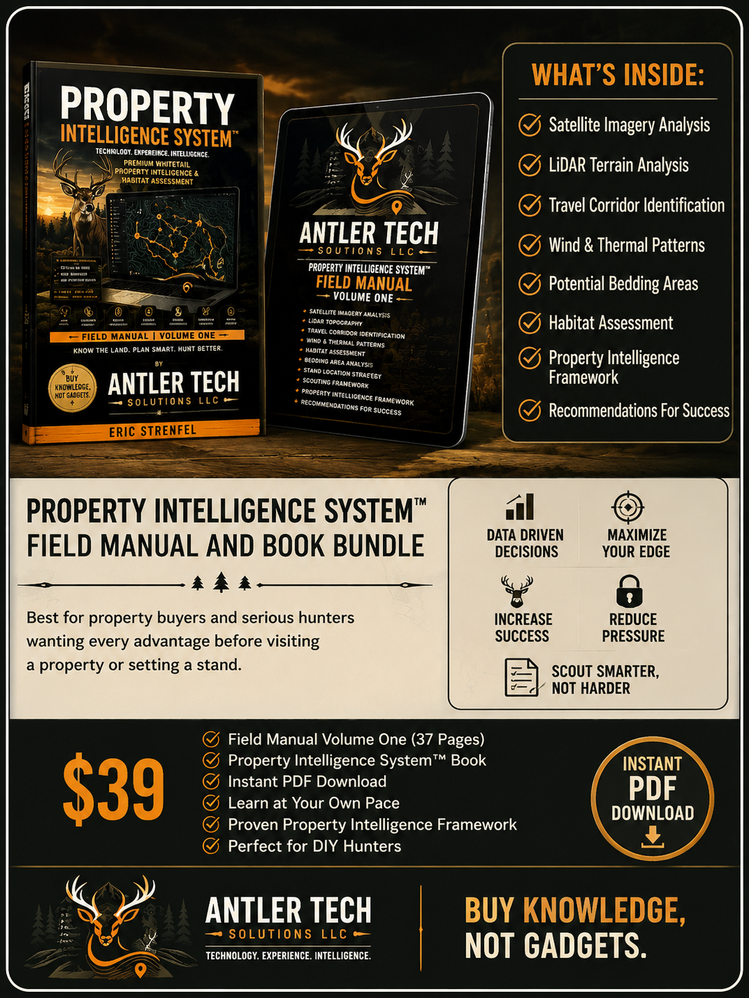
Tier 1
LEARN THE SYSTEM. ANALYZE YOUR OWN PROPERTY. MAKE BETTER DECISIONS. HUNT WITH A PLAN.
You don’t need to hire a professional to start understanding your hunting property. The Property Intelligence System gives you the framework to analyze the land yourself, uncover how terrain, bedding, food, wind, thermals, pressure, and access work together, and turn that information into a smarter hunting strategy.
This isn’t a book about hunting - it’s a system you can use on your own property, season after season. Learn the process once, and use it to scout smarter for years to come.
Field Manual (Volume One) is our step-by-step system broken down into easy-to-follow lessons covering: Foundations of Property Analysis, Mapping & Data Interpretation, Deer Movement & Behavior, Habitat & Stand Strategy, Proven Scouting Methods, Real-World Examples.
Property Intelligence System eBook is the complete guide to applying the system from start to finish including: Advanced Mapping Techniques, Wind & Thermal Strategies, Corridor & Bedding Area Identification, Stand Placement that Works, Seasonal Adjustments and much more.
Whether you hunt private land, public land, leased property, or are evaluating a potential purchase, the Property Intelligence System™ provides a repeatable framework that can be applied year after year.
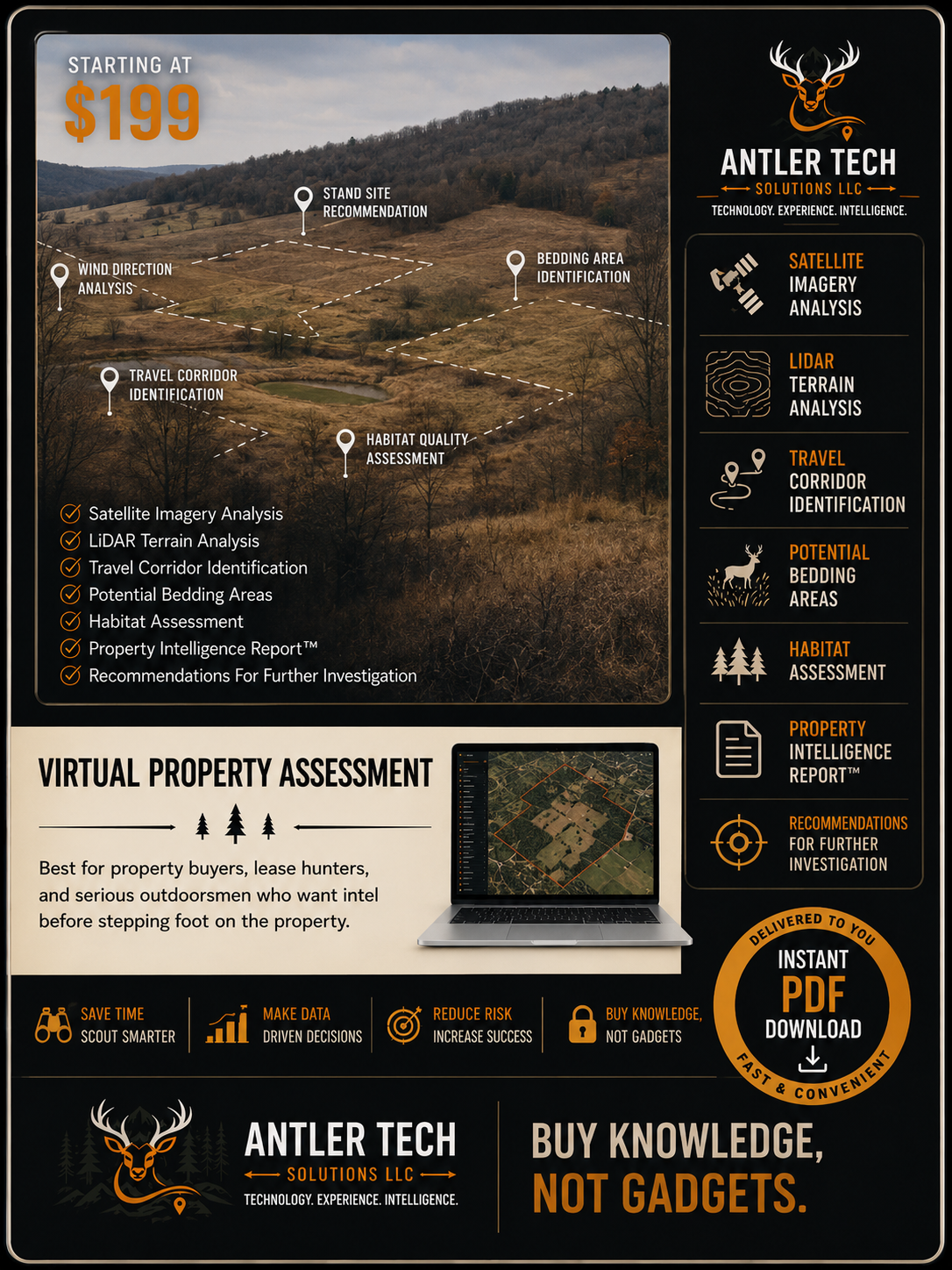
Tier 2
We will analyze your property using advanced mapping technology , terrain data, and real-world experience so you can hunt, buy, lease or manage with confidence. We use high-quality data and expert analysis. Every analysis is tailored to your land, your goals and your conditions. We provide clear and practical strategies to make better decisions and maximize your opportunities.
Included: Satellite Imagery Review, LiDAR Terrain Analysis, Property Overview & Mapping, Habitat Assessment, Access & Entry Evaluation, Food, Water & Bedding Analysis, Wind & Thermal Patterns, Stand Locations Recommendations, Actionable Improvement Plan and Detailed Digital Report (PDF).
Ideal for property buyers, lease hunters, landowners, and serious whitetail hunters.
Many hunters spend years learning these lessons through trial and error.
Our Virtual Property Assessment helps accelerate that learning process by identifying likely travel corridors, terrain advantages, bedding opportunities, access routes, wind considerations, and overlooked hunting locations before you spend valuable time in the field.
The goal is simple:
Help you make smarter decisions with better information.
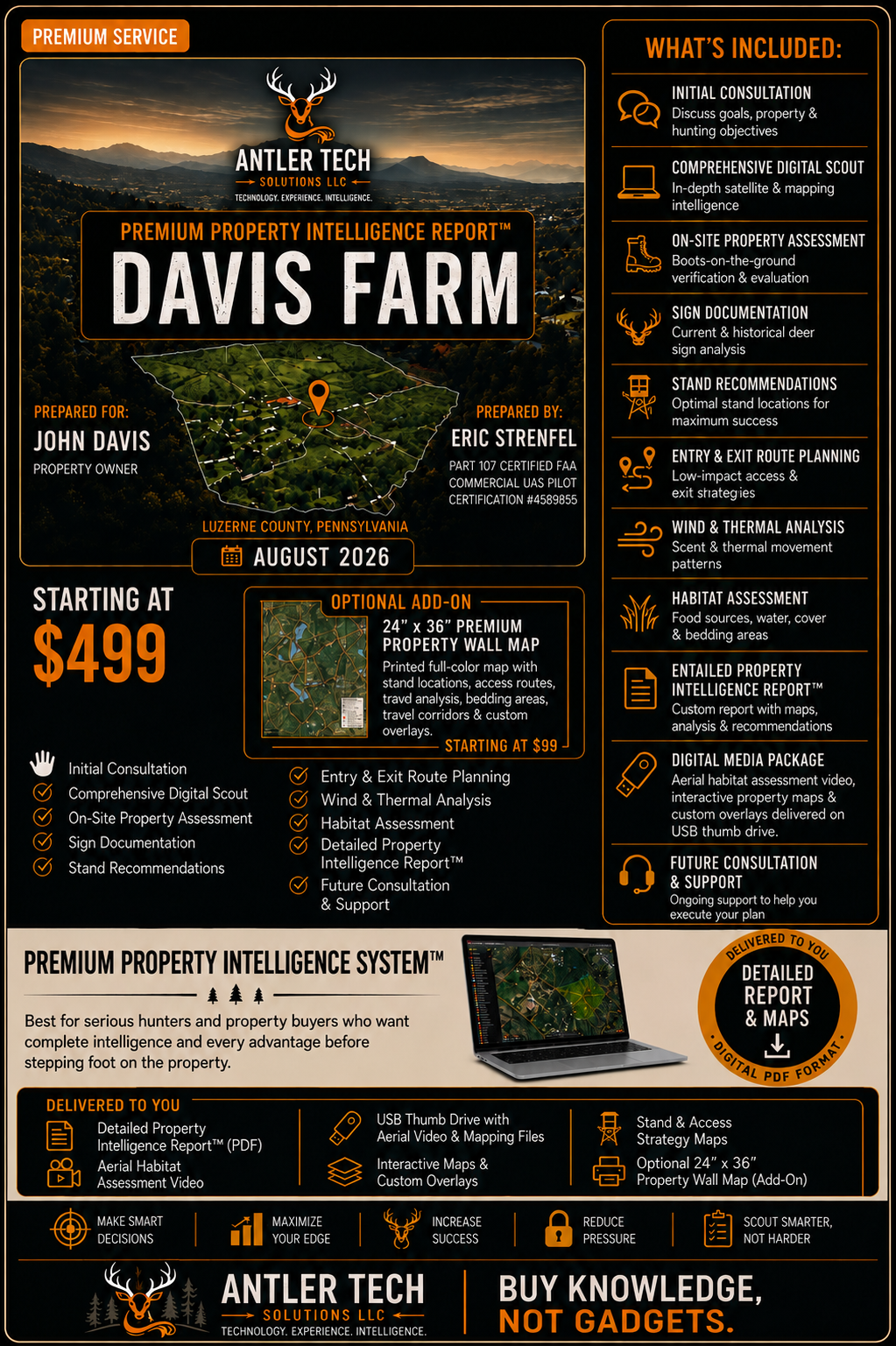
Tier 3
Limited Availability - Because each assessment requires consultation, analysis, field work, and strategy development, only a limited number of Tier 3 projects are accepted each season.
Our most comprehensive service. We don’t just analyze your property, we go there. We walk it. We observe it. We document it. We build a complete, custom hunting strategy designed to help you maximize your property’s potential. From deep-dive analysis to a one-on-one strategy session, you will receive a plan, insights, and support that deliver real results.
Consultation is required before service begins.
Included: initial consultation, comprehensive digital scout, on-site property assessment, Satellite & LiDAR Analysis, Terrain & Topography Mapping, Wind & Thermal Pattern Analysis, Habitat & Bedding Evaluation, Food Sources & Neighbor Analysis, Stand Location Recommendations, Entry & Exit Route Planning, Hunting Strategy & Game Plan, Backup Plans & Contingencies, Detailed Intelligence Report (PDF), 1-on-1 Strategy Session (60 minutes), Ongoing Support & Q&A (Email), Thumb Drive with Aerial property images and video with mapping overlays.
Our on-site property assessments are based in Northeast Pennsylvania and include properties within approximately 150 miles. If you are outside the 150 mile, we may still be able to help. Properties beyond our standard service area are evaluated individually, with travel costs determined by location and scope.
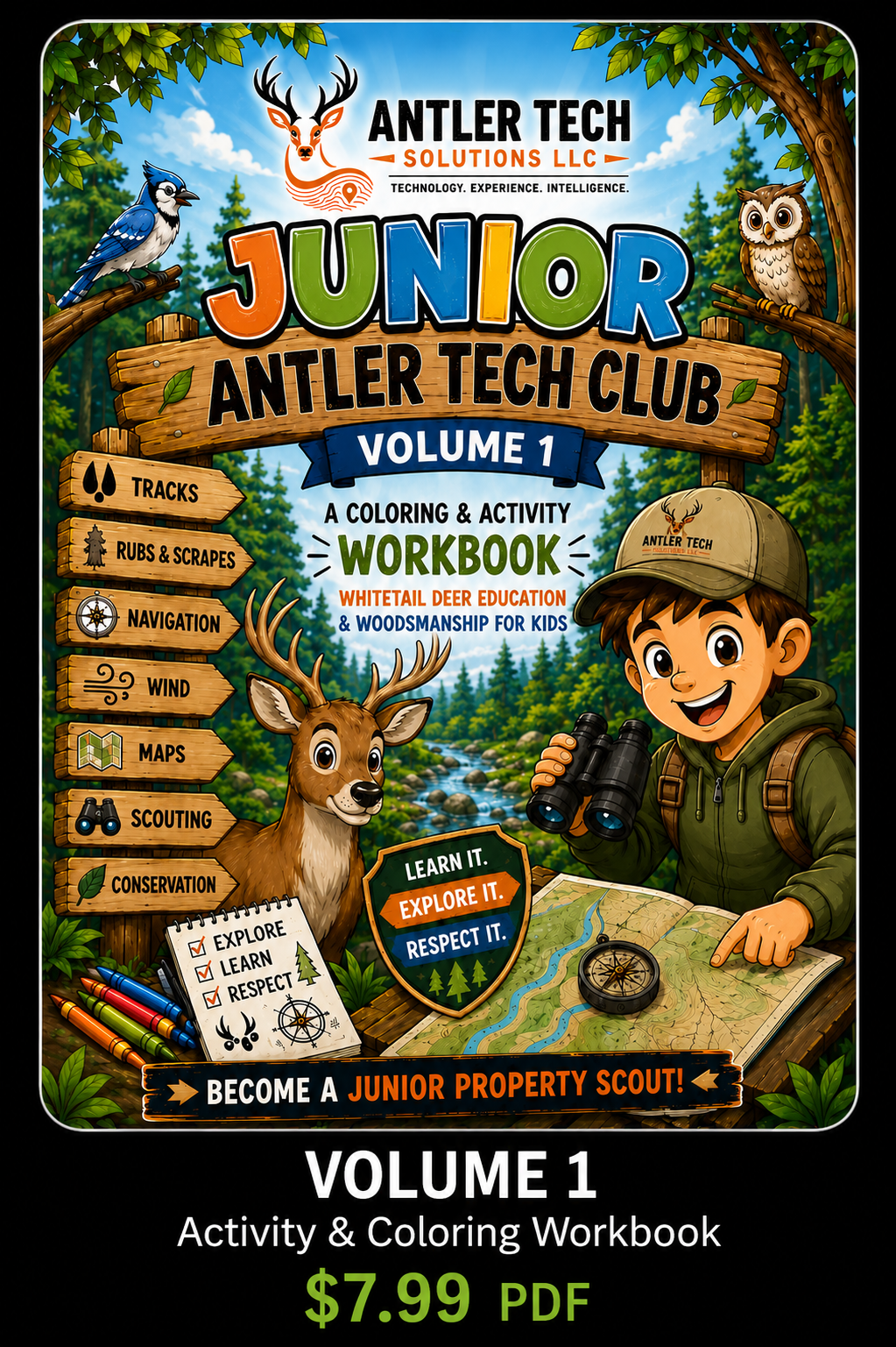
A fun and educational workbook designed to teach kids about wildlife, scouting and the outdoors.
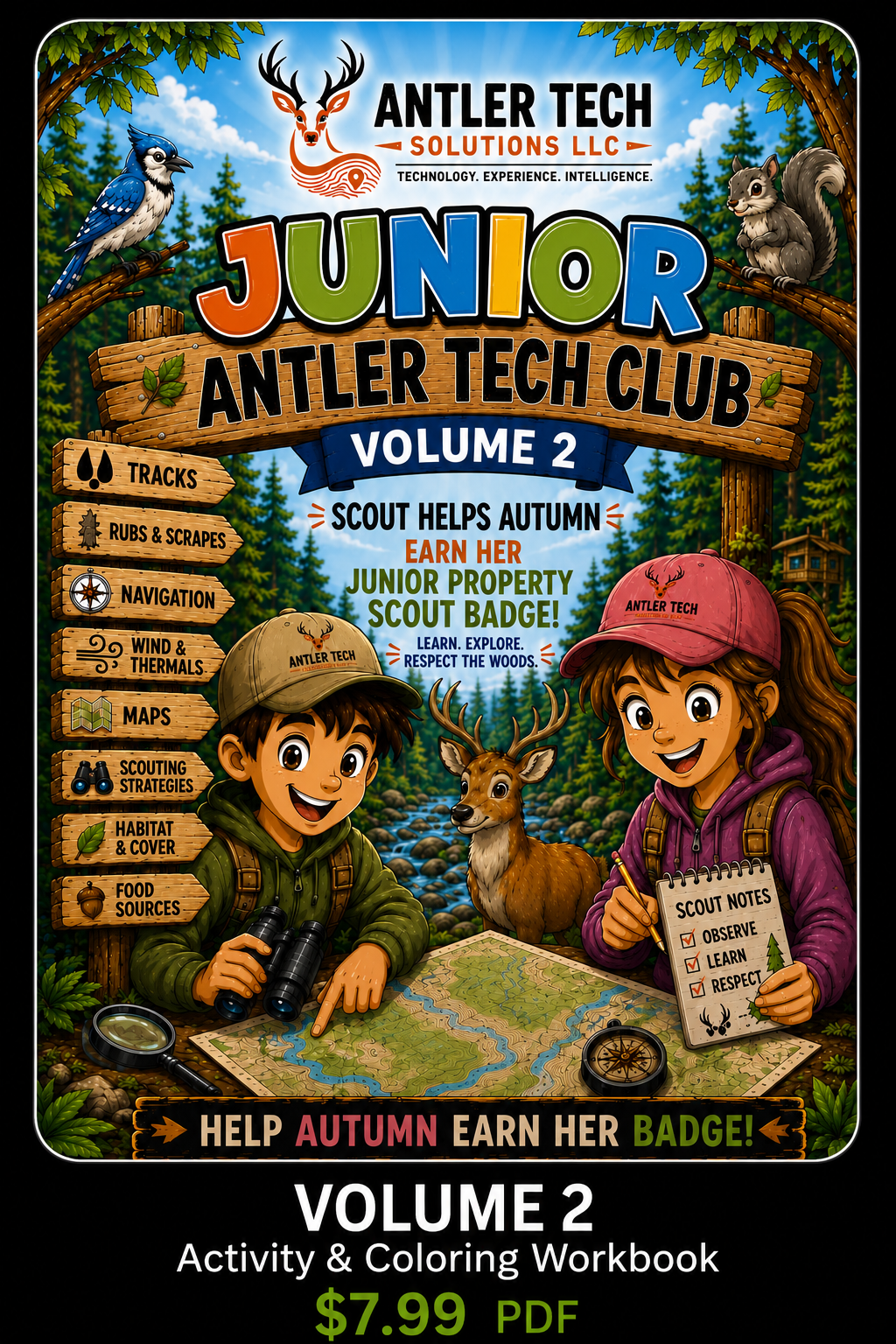
More activities, challenges, and outdoor adventures to grow your knowledge and skills.