
 Image 1 of 1
Tier 2
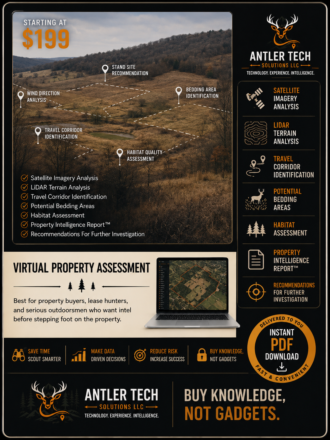
We will analyze your property using advanced mapping technology , terrain data, and real-world experience so you can hunt, buy, lease or manage with confidence. We use high-quality data and expert analysis. Every analysis is tailored to your land, your goals and your conditions. We provide clear and practical strategies to make better decisions and maximize your opportunities.
Included: Satellite Imagery Review, LiDAR Terrain Analysis, Property Overview & Mapping, Habitat Assessment, Access & Entry Evaluation, Food, Water & Bedding Analysis, Wind & Thermal Patterns, Stand Locations Recommendations, Actionable Improvement Plan and Detailed Digital Report (PDF).
Ideal for property buyers, lease hunters, landowners, and serious whitetail hunters.
Many hunters spend years learning these lessons through trial and error.
Our Virtual Property Assessment helps accelerate that learning process by identifying likely travel corridors, terrain advantages, bedding opportunities, access routes, wind considerations, and overlooked hunting locations before you spend valuable time in the field.
The goal is simple:
Help you make smarter decisions with better information.